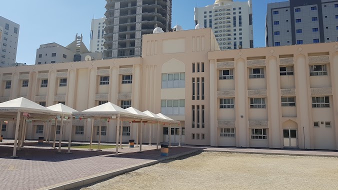
School nearby المعهد الديني الجعفري
Bahrain
School nearby المعهد الديني الجعفري
المعهد الديني الجعفري
Manamah, Bahrain
contacts phone
:
+973 1772 8860
Latitude:
26.2121083
, Longitude:
50.6035192
larger map & directions
read more
nearest School
212 m
New Generation International School
Building No.1421, Road No. 4126, Block No. 341, Juffair
School
read more
213 m
Asian School
Manama
School
read more
217 m
Ngis
Manama
School
read more
291 m
Access Training Center
Rd No 143
School
read more
293 m
Access Training Center
Unnamed Road, Manama
School
read more
464 m
المعهد الديني الابتدائي
Manama
School
read more
489 m
The Primary Religious Institute
Manama
School
read more
500 m
Bahrain School
Manama
School
read more
572 m
Modern Knowledge High School
Manama
School
read more
599 m
alqudes school
818, Road No 4215, Manama
School
read more
605 m
Al Quds Primary Girls School
Manama
School
read more
635 m
Modern Knowledge Schools
Building 515, Block 342, Road 4209, Juffair, Manama
School
read more
648 m
MKS KG/Gym
Manama
School
read more
705 m
Modern Knowledge Schools Kindergarten
Building 515 Road 4209, 342, Manama
School
read more
1.057 km
Kiya Gudeta Avenue
Bani Otbah Avenue, Manama
School
read more
1.314 km
The Gulf Academy
Building 654, Road No 3625, Manama
School
read more
1.426 km
Party Daze
Manama
School
read more
2.082 km
مدرسة عبدالرحمن الداخل الاعدادية للبنين
Manama
School
read more
2.165 km
RIA School
Road No 2619, Manama
School
read more
2.172 km
Al Adawiya primary girls School
Manama
School
read more
2.19 km
AL ADAWIYA GIRLS SCHOOL
Block 308, Manama
School
read more
2.196 km
ادارة المكتبات العامة directorate of public librarires
Manama
School
read more
2.209 km
مدرسة رابعة العدوية الابتدائية للبنات Raba Aladwia Primary girls school
Block 308, Manama
School
read more
2.258 km
وزارة التربية و التعليم ( قسم التوظيف ) المنامة
Al Maarif Avenue, Manama
School
read more
2.755 km
Matam Al Bada'
Manama
School
read more
📑
all categories
Accounting
Administrative area level 1
Airport
Amusement park
Aquarium
Art gallery
Atm
Bakery
Bank
Bar
Beauty salon
Bicycle store
Book store
Bowling alley
Bus station
Cafe
Campground
Car dealer
Car rental
Car repair
Car wash
Cemetery
Church
City hall
Clothing store
Convenience store
Country
Courthouse
Dentist
Department store
Doctor
Electrician
Electronics store
Embassy
Establishment
Finance
Fire station
Florist
Food
Funeral home
Furniture store
Gas station
General contractor
Grocery or supermarket
Gym
Hair care
Hardware store
Health
Hindu Temple
Home goods store
Hospital
Insurance agency
Jewelry store
Laundry
Lawyer
Library
Liquor store
Local government office
Locality
Locksmith
Lodging
Meal delivery
Meal takeaway
Mosque
Movie rental
Movie theater
Moving company
Museum
Natural feature
Neighborhood
Night club
Painter
Park
Parking
Pet store
Pharmacy
Physiotherapist
Place of worship
Plumber
Point of interest
Police
Post office
Premise
Real estate agency
Restaurant
Route
School
Shoe store
Shopping mall
Spa
Stadium
Storage
Store
Subpremise
Subway station
Supermarket
Synagogue
Taxi stand
Travel agency
University
Veterinary care
sublocality level 1
↑