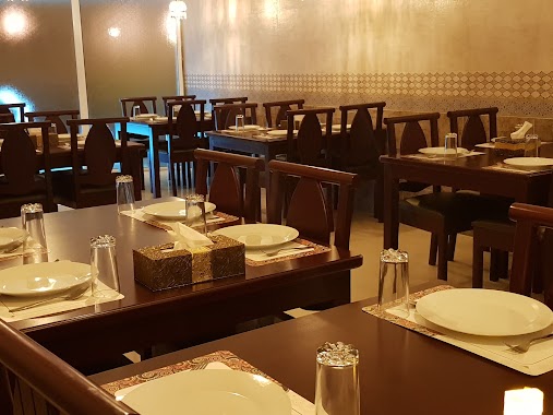
Restaurant nearby Malabar Thattukada
Coronavirus disease (COVID-19) Situation
confirmed cases
729549
deaths
1574
Bahrain
Restaurant nearby Malabar Thattukada
Malabar Thattukada
Tariq Ibn Ziyad Avenue, Manama, BH Bahrain
contacts phone
:
+973
Latitude:
26.2258607
, Longitude:
50.5926381
larger map & directions
read more
nearest Restaurant
96 m
Honey Thai Restaurant
Manama
Restaurant
read more
126 m
Thailand Gates Restaurant
Manama
Restaurant
read more
226 m
EXHIBITION LIGHT CAFETERIA
Qudaibiya Avenue, Manama
Restaurant
read more
275 m
Fresh Kitchen
Manama
Restaurant
read more
293 m
Chicki Chicken Broasted
Road No 2103, Al Sayh
Restaurant
read more
295 m
Kusbu Idly Tamil Restraunt
Road No 2107, Manama
Restaurant
read more
315 m
Tuk Tuk Grills
Corner Road 2150, Qudaibiya Avenue, Al, Manama
Restaurant
read more
373 m
Al Nozha Restaurant
Tariq Ibn Ziyad Avenue, Manama
Restaurant
read more
436 m
Supreme Broasted
Road No 1862, Manama
Restaurant
read more
535 m
Sanar Cafeteria
Maan Bin Zaaeadah Avenue, Manama
Restaurant
read more
644 m
Kashmir Resturant مطعم كشمير
Flat No 11,near Awal theater Zubara Avenue, Manama
Restaurant
read more
715 m
Beiruti
شارع القصر, Manama
Restaurant
read more
721 m
Noora Resturant
Manama
Restaurant
read more
753 m
turkey chef restaurant
Manama
Restaurant
read more
758 m
Karachi Restaurant
Block 308, Manama
Restaurant
read more
781 m
Sausage Corner
Road No 2603, Manama
Restaurant
read more
809 m
Burger Town
Road No 2607, Manama
Restaurant
read more
849 m
Perambra Live Restaurant
Block 308, Manama
Restaurant
read more
874 m
Bombay Central
Manama
Restaurant
read more
877 m
Cousins
Manama
Restaurant
read more
895 m
Banana Leaf
Hassan Bin Thabit Avenue, Manama
Restaurant
read more
925 m
Swathi Udupi
Road No 1819, Manama
Restaurant
read more
1.022 km
ALRUKEN ALMASSI RESTAURANT
Road No 2705, Bahrain
Restaurant
read more
1.042 km
La Fontaine Restaurant
Hoora Avenue, Manama
Restaurant
read more
1.33 km
Kebabish Restaurant Bahrain
Isa Al Kabeer Avenue, Manama
Restaurant
read more
📑
all categories
Accounting
Administrative area level 1
Airport
Amusement park
Aquarium
Art gallery
Atm
Bakery
Bank
Bar
Beauty salon
Bicycle store
Book store
Bowling alley
Bus station
Cafe
Campground
Car dealer
Car rental
Car repair
Car wash
Cemetery
Church
City hall
Clothing store
Convenience store
Country
Courthouse
Dentist
Department store
Doctor
Electrician
Electronics store
Embassy
Establishment
Finance
Fire station
Florist
Food
Funeral home
Furniture store
Gas station
General contractor
Grocery or supermarket
Gym
Hair care
Hardware store
Health
Hindu Temple
Home goods store
Hospital
Insurance agency
Jewelry store
Laundry
Lawyer
Library
Liquor store
Local government office
Locality
Locksmith
Lodging
Meal delivery
Meal takeaway
Mosque
Movie rental
Movie theater
Moving company
Museum
Natural feature
Neighborhood
Night club
Painter
Park
Parking
Pet store
Pharmacy
Physiotherapist
Place of worship
Plumber
Point of interest
Police
Post office
Premise
Real estate agency
Restaurant
Route
School
Shoe store
Shopping mall
Spa
Stadium
Storage
Store
Subpremise
Subway station
Supermarket
Synagogue
Taxi stand
Travel agency
University
Veterinary care
sublocality level 1
↑